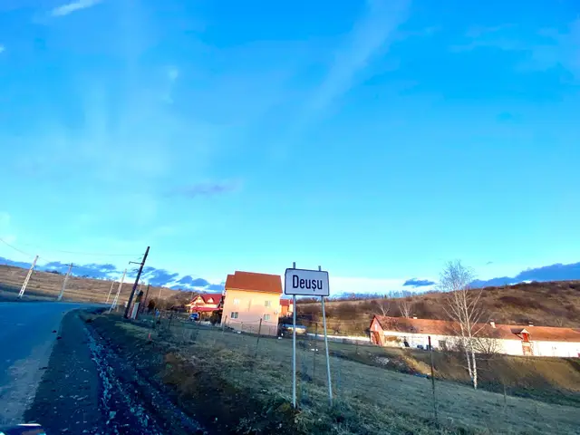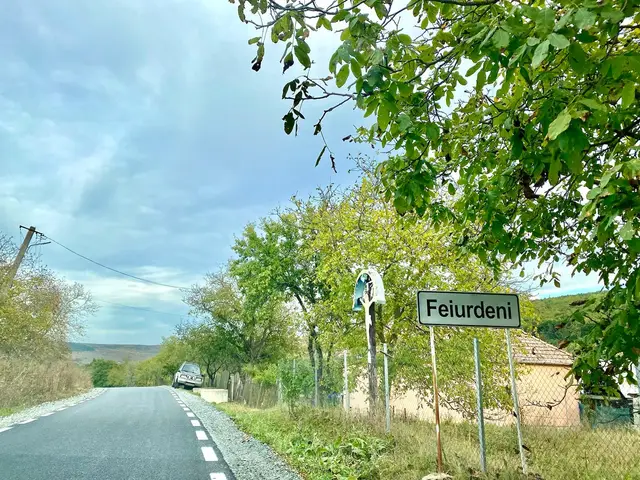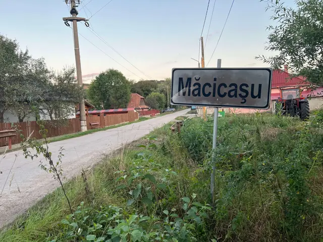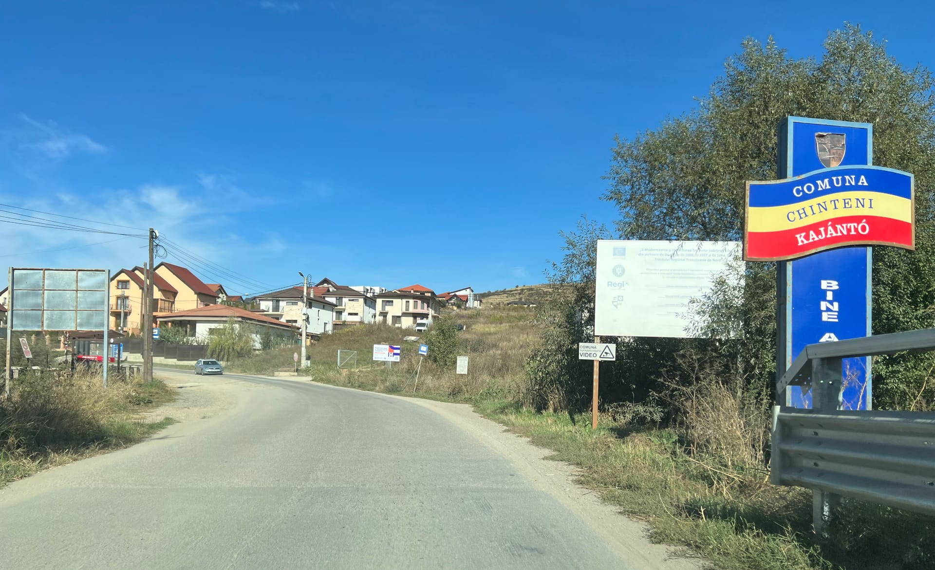
Chinteni Commune (Kajántó in Hungarian, once called Chintău) lies in Cluj County, north of Cluj-Napoca, and brings together nine villages: Chinteni, the seat, plus Deușu, Feiurdeni, Măcicașu, Pădureni, Satu Lung, Săliștea Veche, Sânmărtin and Vechea.
source ro.wikipedia.org
Chinteni Town Hall - Development Strategy
Chinteni Town Hall - Municipality Statute
Facebook Page
Discover Transylvania
General Data
- First attested in 1263, Atlas of Cluj County Localities, Suncart Publishing, p. 121.
- Population (2021): 4533 inhabitants (3065 in 2011) - source. | Density: 28,42 inh./km².
- Area: 96,5 km²
- Postal Code: 407205
- Neighbors:
- Chinteni municipality: Măcicașu (2.09 km), Sânmărtin (2.75 km), Deușu (2.79 km), Pădureni (4.09 km), Vechea (4.17 km), Satu Lung (5.39 km), Feiurdeni (6.24 km), Săliștea Veche (6.33 km).
- Baciu municipality: Săliștea Nouă (4.13 km), Corușu (5.15 km), Popești (6.28 km).
- Vultureni municipality: Făureni (5.33 km).
- Average Altitude: 493 m (above sea level).
- GPS Coordinates: 46°50'53.5"N 23°33'15.8"E (see map)
- Time Zone: EET (+2) | Summer Time: EEST (+3)
- SIRUTA (see details): 56988
- Government: PSD, Magdalena Lucia Suciu (since 2000)
Map
Loading map…
Geography
The commune's nine villages, Chinteni (the seat), Deușu, Vechea, Măcicașu, Sânmărtin, Feiurdeni, Pădureni, Satu Lung and Săliștea Veche, together cover 96.5 km². The 2021 census counted 4,533 residents.
Cluj-Napoca is about 16 km away. The villages sit among the rolling hills known as the Cluj and Dej Hills.
Average altitude: 493 m.
Protected nature: "Fânațele Clujului" Nature Reserve (Eastern Cluj Hills - ro.wikipedia.org), of which 26.12% is located on the territory of Chinteni Municipality (52% of the municipality area is included in the site).
History
- Through the Middle Ages, Chinteni was part of the Cluj-Mănăștur parish. It later passed to the Jesuits of Cluj and became part of the large Gilău estate.
- The village's old church was built in the 13th century as a Roman Catholic church. Over time it passed to the Reformed (Calvinist) congregation, and in 1690 it returned to the Roman Catholics. The building keeps a Romanesque nave closed by a Gothic choir.
- Archaeological Discoveries: At the place called "Pustafalău", on the right bank of the Chintău Valley, excavations uncovered the foundations of six Roman buildings, along with bricks, roof tiles, hypocaust (underfloor heating) parts, aqueduct pipes and provincial Roman pottery. Traces of two more buildings turned up a little to the north-west. The same site produced a tegula mammata tile stamped VAL CAT, read as Valerius Catullinus, the financial procurator of Dacia Porolissensis under Emperor Commodus. A column base, another stamped tile, a bone needle and a coin probably belong to the same complex. Together they almost certainly point to a Roman villa: a villa rustica (farm estate) or perhaps a villa suburbana.
Politics and Administration
The commune is run by a mayor and a 13-member local council. The mayor is Magdalena Lucia Suciu (PSD), in office since 2000. After the 2024 local elections, the council seats are split as follows:
- Social Democratic Party (PSD): 6
- National Liberal Party (PNL): 5
- Democratic Alliance of Hungarians in Romania (UDMR): 1
- Alliance for the Union of Romanians (AUR): 1
Demographic Evolution / Population / Census / Ethnic Structure
Population from one census to the next - ro.wikipedia.org:

Demographics: the 2011 census counted 3,065 residents, almost 300 more than in 2002 (2,786). 77% identified as Romanian and 17.72% as Hungarian; for 4.6% ethnicity was not recorded. By religion, 68.09% were Orthodox, followed by Reformed (14.49%), Greek Catholic (4.08%), Roman Catholic (2.45%), Pentecostal (2.28%), Baptist (1.34%) and Evangelical Christian (1.11%); for 4.89% religion was not recorded.